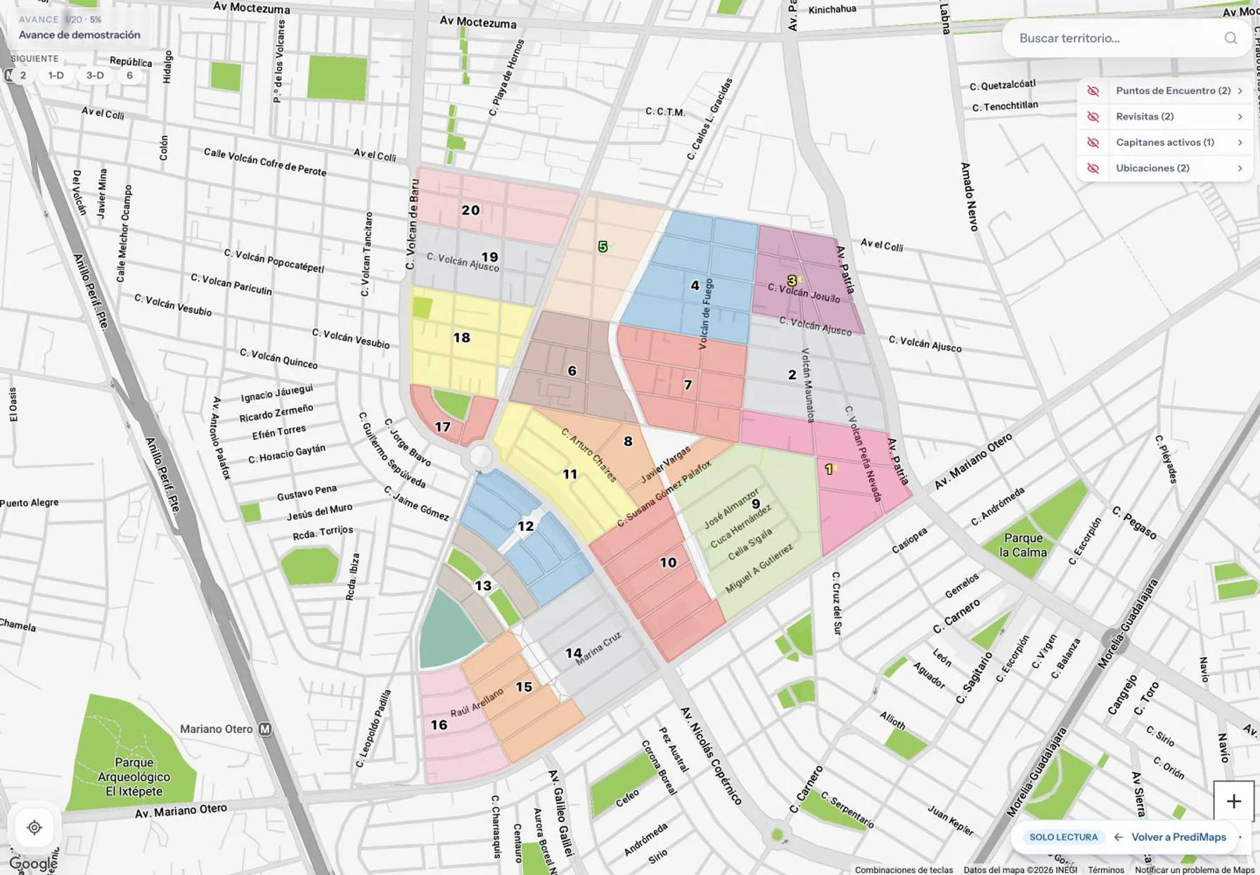
Identifiable territories and zones
Number territories, organize zones by code and color, and keep useful references within the map.
Digital maps for congregations
PrediMaps brings together the map, link or PIN access, an offline copy, progress from a phone, assignments, and reports so each responsibility works from the same territory structure.
One shared reference
The territory structure is prepared once and then used to view, record, and review. Permissions determine what each person can do without giving everyone coordination access.
Number territories, organize zones by code and color, and keep useful references within the map.
Publishers can open a link or use an active PIN from their browser, and save a copy beforehand for viewing when internet is unavailable.
Pending and completed zones remain visible on the same map; permissioned users can record completed work.
Assignments, users, access, and reports help review coverage without rebuilding information in separate documents.
Offline continuity
From the viewer, prepare an interactive copy on that phone, tablet, or computer. If the online map cannot load, PrediMaps can open the backup saved on the device.
The copy must be saved beforehand on each device. Map changes require an online update; keeping the copy depends on available space and on the browser or app retaining its data.
End-to-end workflow
PrediMaps separates preparation, daily use, and oversight so each step happens on the appropriate screen and with the right permission.
Draw or correct territories and zones, add meeting points, and finish the structure that will be shared.
Generate access PINs for viewing and assign territories or zones to accounts that need to record progress.
Publishers view and can prepare the offline copy; captains or authorized users review their zones and mark progress from a phone.
Coordinators filter progress and prepare PDF or DOCX reports when they need to archive or share them internally.
Access by responsibility
The PIN works as a credential for opening the public viewer; permissioned accounts enable coordination tasks. This separation keeps daily use simple and administrative functions controlled.
Open the map by link or PIN, find the territory, and view available progress, return visits, and references.
Review assignments, record progress when permitted, and prepare a summary from the map.
Prepare maps, manage access and users, review coverage, and generate reports with more room on a tablet or computer.
A verifiable product
On Android, use the app available on Google Play; from the web, iPhone, or iPad, you can keep opening maps by link or PIN. For progress analysis or report exports, a larger screen provides the necessary context.
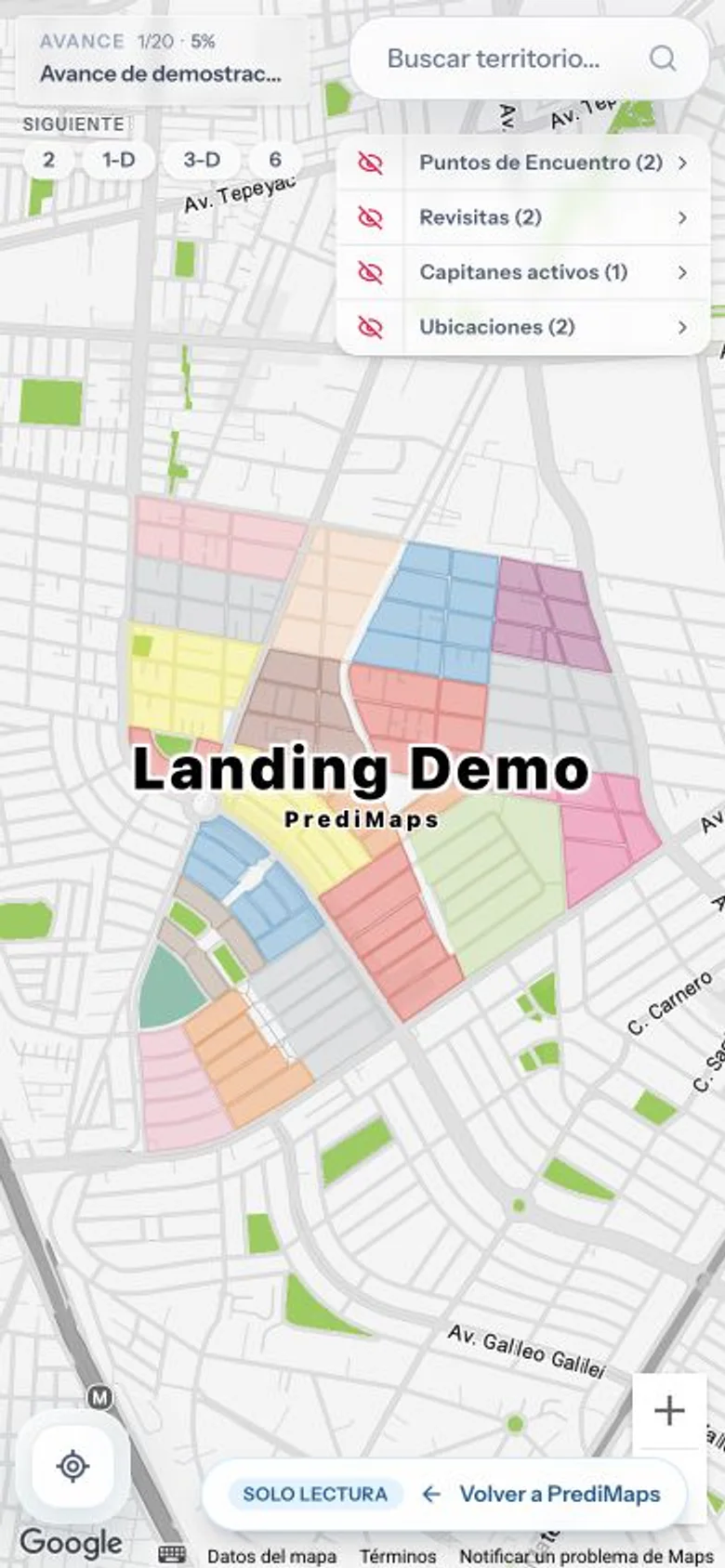
Viewing the map from a phone.
PrediMaps for Android
Download the app from Google Play to open your maps on Android.

Before choosing
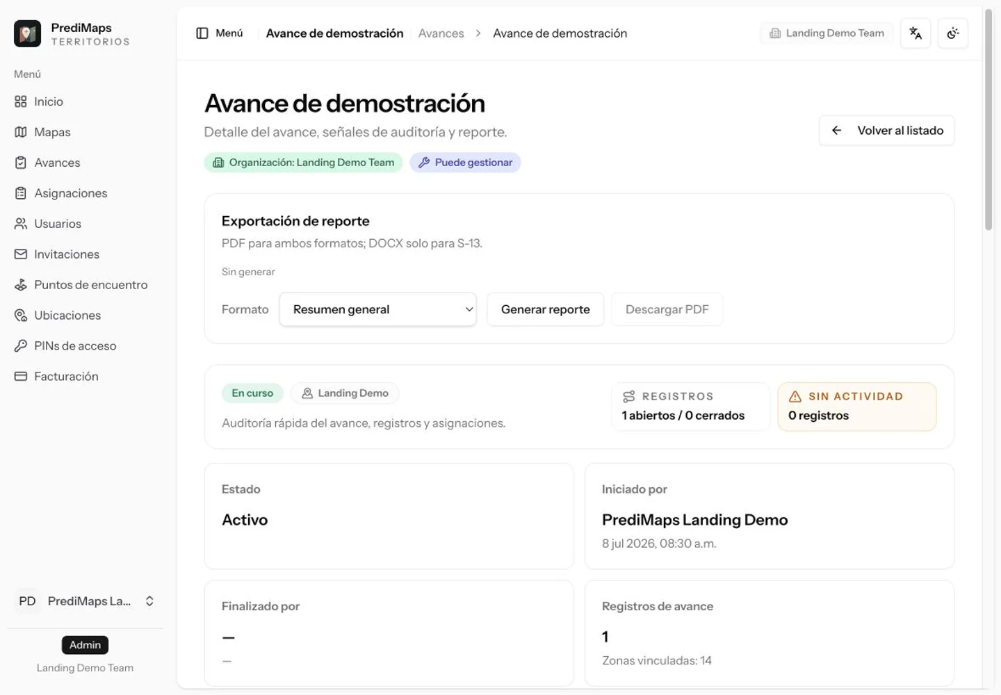
A useful tool should fit the real workflow, not only display an attractive map. These are the criteria PrediMaps lets you review in the demo and plans.
The app is available on Google Play for Android; you can also use a browser or save access on iPhone and iPad. From the viewer, prepare a map copy on the device you will use offline.
A PIN controls entry to the viewer without granting administrative permissions; accounts are reserved for specific responsibilities.
Progress is recorded on the territory structure that is later reviewed and exported, avoiding parallel tracking.
Plans distinguish maps, licenses, and included limits so the subscription can be reviewed before creating an account.
Next step
Compare current plans or tell us how many maps and coordination accounts you need. You do not need to share publishers’ personal data to evaluate the product.